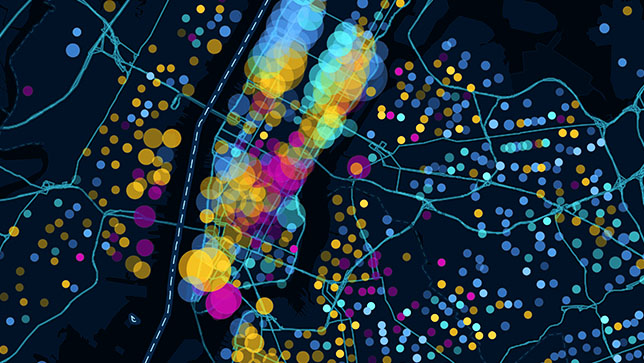
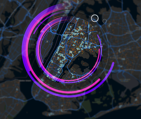
GIS Developer with over 4 years of experience designing and implementing WebGIS applications, automating spatial workflows, and managing complex geospatial datasets. Proficient in ArcGIS, JavaScript (ArcGIS API), and .NET Core, with hands-on experience in urban planning and infrastructure domains. I love building custom GIS tools and delivering impactful geospatial solutions.
Designing and developing interactive WebGIS applications using ArcGIS API for JavaScript 4.x, HTML/CSS, and ASP.NET Core (C#) to support municipal operations like zoning management, infrastructure mapping, and utility asset tracking.
Integrated GIS solutions with SQL Server and Esri Geodatabases to manage municipal assets and power grid components. Published GIS web services (WMS, WFS, REST APIs) using ArcGIS Server 10.x for real-time spatial data access.
With over 4 years of experience, I provide specialized GIS and web development services to support urban planning, infrastructure, and utility management.
Creating custom Add-ins and Extensions for ArcGIS Desktop 10.x and ArcGIS Pro 3.x using the ArcObjects and .NET SDKs to automate spatial tasks.
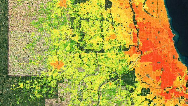
Conducting advanced spatial analysis, data visualization, and geospatial dataset management for urban planning and infrastructure projects.
I create smart GIS solutions that turn complex spatial data into actionable insights.
Below are some of the key GIS projects I've worked on, ranging from municipal asset management to urban planning solutions.
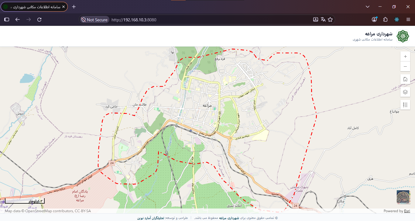
Municipal WebGIS Platform: Developed a responsive WebGIS application for municipal mapping, featuring interactive parcel selection, property information, searchable municipal data, and GIS layer management. Built with React, TypeScript, and the ArcGIS Maps SDK. GitHub
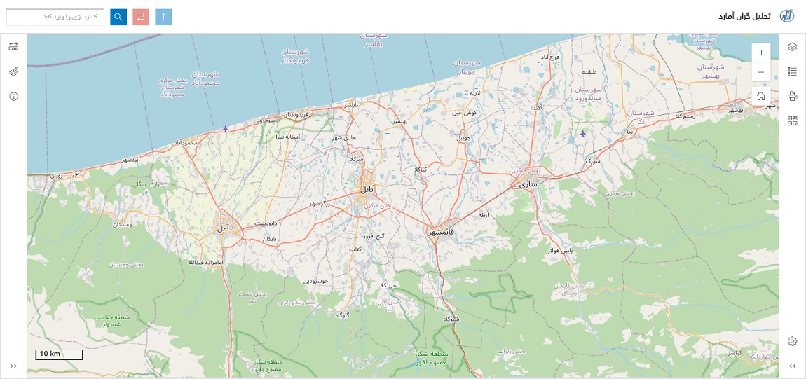
Tahlilgran Amard: Developed WebGIS application for zoning management and infrastructure mapping. details
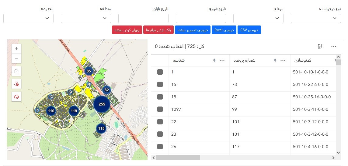
Tahlilgran Amard: Development of a monitoring subsystem for registering requests in municipalities. details
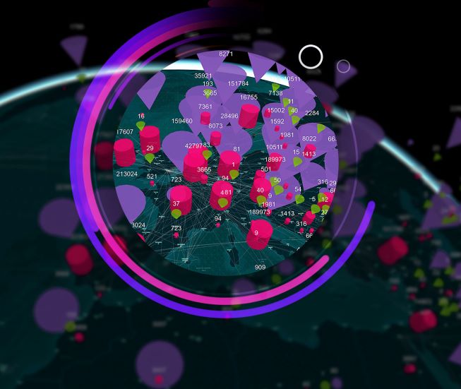
OHM: Integrated GIS solutions with SQL Server and Esri Geodatabases for municipal asset management. details
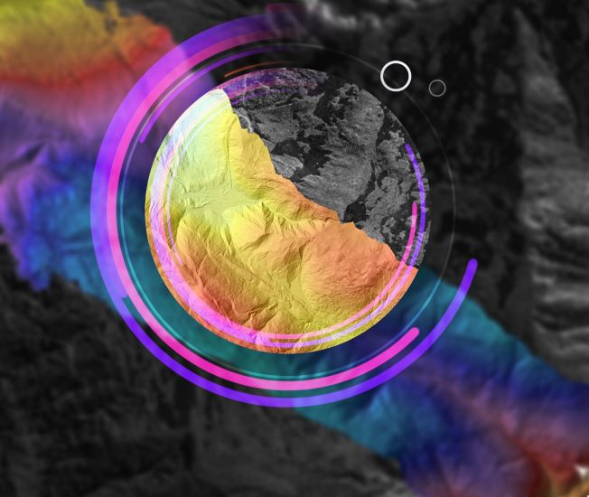
OHM: Conducted advanced spatial analysis and data visualization for urban planning, land-use, and utility network management projects. details
For any GIS or web development project inquiries, please send me your message using the following email mr.khatibian98@gmail.com
Copyright © Mohammad Khatibian